STRATEGIC SERVICES
Territory Planning
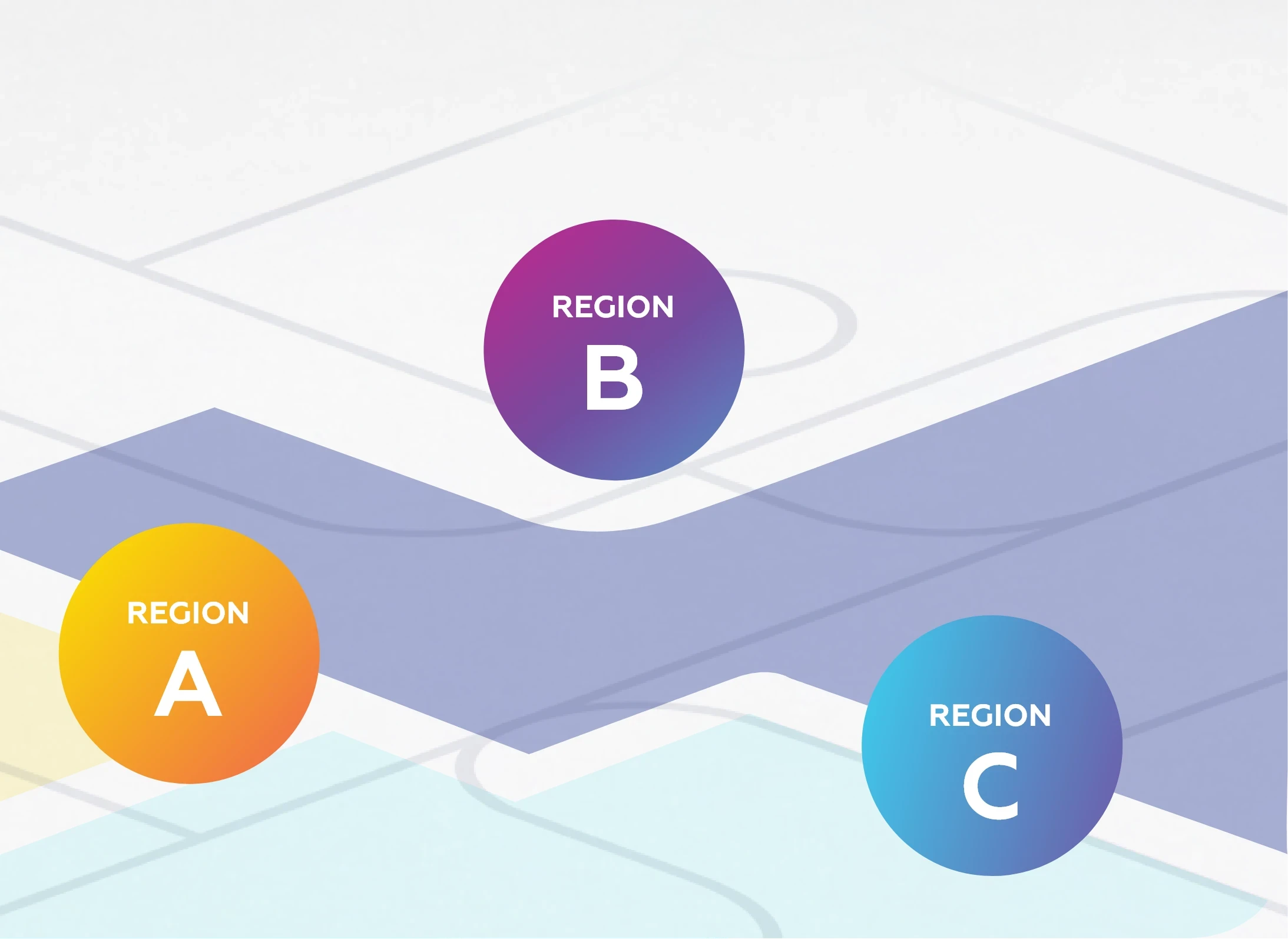
Design smarter delivery territories using real delivery data to automatically balance driver workloads. Aligning zones to road networks and natural boundaries, and adapting dynamically as volumes change.
So you eliminate overlap, reduce wasted capacity and cut costs per stop.
We have the solution
THE PROBLEM
Static zones create driver overlap, uneven workloads, and constant manual rework.
Our Territory Planning software replaces gut feel with data, eliminating wasted capacity and rising costs-per-stop.

Use real delivery data and territory optimisation tools to generate fair, achievable driver territories that balance workload and peak-hour constraints.
Advanced zone planning software automatically splits or merges zones dynamically as volumes change, maintaining high density without manual intervention.
Align zone boundaries securely to road networks and natural barriers, ensuring your design is grounded in geographical reality, not just straight lines.
Streamline planning by exporting optimised territories in KML, GeoJSON, and Shapefile formats for direct integration into your existing stack.
Outcomes for our customers
More visibility
Across orders, routes, drivers and exceptions
Lower cost-to-serve
Through smarter routing and planning
Faster planning
From hours to minutes in scheduled environments
Easier scale
With technology and capacity that grows with you
Services Overview






























Real results from real operations.
Optimising dark store location strategy for a retailer
A Johannesburg based retailer struggled with inefficient store placements around the city.
After engaging with Loop, they implemented a data-driven geospatial strategy, identifying the optimal corridor to secure 75% demand coverage, relieve physical store pressure and significantly reduce total fulfilment costs.

Let's build your last-mile advantage together.
Speak to Loop's team and discover how we can tailor our delivery management software to your needs.